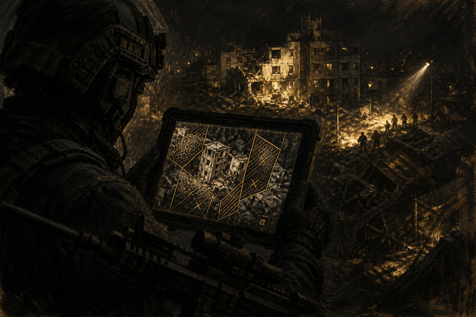
★ Now Available — Version 1.0

Tactical AI for ATAK. Offline-First. Mission-Ready.

The most comprehensive ATAK plugin ever built. DuckDB-powered spatial analytics, on-device AI with Gemma 3N & Phi-4, real-time data ingestion, C2 tactical messaging, and 60+ geospatial data catalog endpoints — all running on your Android device, completely offline.

0

Core Capabilities

0

Data Catalog Endpoints

0

Messaging Gateways

0

C2 Protocol Adapters

0

On-Device AI Models

0

Offline Capable

A Compelling Operator Story

From pre-mission setup to after-action reporting, Tactical AI DuckDB keeps the full operational cycle unified and offline-capable.

Phase 1: Before Mission

Teams pre-stage AOI datasets, configure forms, and validate routing with one plugin instead of stitching together fragmented tools.

Phase 2: During Mission

In DDIL conditions, operators keep AI-assisted analysis, C2 messaging, and real-time awareness on-device without cloud dependency.

📊

Phase 3: After Mission

Structured data and reports stay queryable for debriefs, compliance, and faster next-mission preparation.

Core Feature Domains

Six integrated capability pillars that transform ATAK from a map viewer into a full-spectrum tactical intelligence platform — replacing 12+ standalone plugins with one offline-first solution.

🌎

Geospatial Analytics & Data

DuckDB Spatial engine with OGC API Features, vector tile serving, attribute tables, spatial joins, and in-app vector conversions. PMTiles, GeoPackage, and MapLibre GL rendering built-in. 60+ data catalog endpoints from USGS, NOAA, NASA & more.

Learn more →
🤖

On-Device AI & ML

Run Gemma 3N, Phi-4, and MiniCPM models entirely on-device. AI-enabled spatial queries, vision-language analysis, voice control, speech-to-text, and real-time translation — zero cloud dependency, zero data exfiltration risk.

Learn more →

Real-Time Data Processing

Ingest live feeds via Redis, Kafka, WebSockets, HTTP polling, ESRI StreamServer, OGC SensorThings, and GTFS. Event-driven on-device processing through DuckDB for continuous situational awareness.

Learn more →
📡

C2 Tactical Messaging

The only ATAK plugin that bridges to VMF (ACP 127), JVMF (MIL-STD-6017), Link 16/22 (STANAG 5516), and USMTF. Plus 6 commercial gateways: Slack, Teams, Telegram, Signal, WhatsApp, and XMPP.

Learn more →
🛰

Hardware Integration

High-precision GNSS receivers with full NMEA parsing and RTK support, MacroPad/keypad HMI with 30+ ATAK action mappings for gloved-hand operation, and UAS/drone live video with AI-powered analysis.

Learn more →

Cloud, Routing & 3D

Rclone multi-cloud storage (S3, Azure, GCS, OneDrive, Dropbox), GraphHopper offline navigation with OSM data, 3D model conversion (IFC, CityJSON, FBX, glTF), and Google Photorealistic 3D Tiles downloading.

Learn more →

All Feature Modules

Every capability included in a single plugin — browse the complete feature library.

🤖

AI Agent Chat Assistant

Conversational AI co-pilot powered by on-device LLMs. Natural language map queries, tool-calling architecture, spatial reasoning, and context-aware responses — all offline.

Learn more →
🚨

Damage Assessment (ATC-45)

Post-disaster building safety evaluation with AI-powered damage detection from drone imagery. Vision-language model analysis generates prioritized inspection queues — ATC-45 compliant.

Learn more →
🏠

Indoor Mapping (IMDF)

IMDF-compliant floor plan visualization. Render building interiors, digitize rooms, select indoor features, and attach forms to indoor units — fully offline.

Learn more →
🌟

Gaussian Splat 3D Viewer

Render photorealistic 3D Gaussian Splat scenes directly in ATAK. Load .ply files from drone photogrammetry for immersive site visualization and mission briefings.

Learn more →
🖌

Collaborative Whiteboard

Real-time shared digital whiteboard integrated with ATAK. Sketch operational overlays, annotate maps, and collaborate with team members on mission planning.

Learn more →
📊

Tactical Dashboard

Live operational dashboard with charts, KPIs, and data visualizations powered by DuckDB queries. Monitor team activity, sensor feeds, and mission metrics in real time.

Learn more →
📄

Document RAG (AI Search)

On-device retrieval-augmented generation for field documents. Load SOPs, TTPs, and reference materials — then ask the AI questions and get answers grounded in your documents.

Learn more →
📋

Adhoc Forms Module

No-code form designer with 17 field types including MapPoint, MapPolygon, Photo, and Signature. GeoPackage storage, conditional logic, and spatial query capabilities.

Learn more →

Task & Mission Tracking

Geospatial task management integrated with ATAK markers. Assign tasks to team members, track completion status, and visualize task locations on the operational map.

Learn more →
📝

Tactical Reports & Pivot Tables

Advanced report generation from DuckDB data with pivot tables, chart exports, and customizable templates. Generate SALUTE, SITREP, and custom operational reports in the field.

Learn more →

AOI Data Downloads

Pre-stage data for areas of interest before going offline. Download vector features, raster tiles, and imagery from ESRI MapServer, ImageServer, FeatureServer, and OGC services.

Learn more →

Terrain Analysis & LiDAR

Viewshed analysis, slope/aspect calculation, and LiDAR point cloud to DT2/DT3 DTED conversion. On-device terrain processing for route planning and line-of-sight analysis.

Learn more →
🔍

OSM & POI Search

Fused POI search across NGA GeoNames, USGS GNIS, Overture Maps, OSM, and FourSquare with offline batch geocoding using OpenAddresses data.

Learn more →
🚈

Offline Navigation

Turn-by-turn navigation powered by GraphHopper with pre-downloaded OSM routing graphs. Multiple vehicle profiles, waypoint routing, and real-time rerouting — zero connectivity required.

Learn more →
🎥

Video Streaming

Live video feed integration for UAS, body cameras, and IP cameras. RTSP, RTMP, and HLS stream support with georegistered video overlays and AI-powered object detection.

Learn more →
📷

GeoPhoto & Image Analysis

Enhanced geotagged photo capture with EXIF metadata, AI-powered image analysis, markup tools, and ATAK marker integration. Replaces GeoCam with AI vision capabilities.

Learn more →

Sun, Shadow & Day/Night

Real-time solar position calculation, shadow simulation, golden hour planning, and day/night boundary visualization. Critical for operational timing and surveillance planning.

Learn more →
🎯

Synthetic Training Data

Generate realistic synthetic geospatial datasets for AI model training and operational rehearsals. Simulate entity tracks, sensor readings, and event sequences over real terrain.

Learn more →
🌐

Map State API

Expose live ATAK data to Cesium, DeckGL, TerriaJS, and AR apps via localhost REST and WebSocket endpoints. Real-time GeoJSON markers, user location, and viewport bounds.

Learn more →
🔗

Webhook Receiver

Receive webhooks from external systems and convert to ATAK map markers automatically. Local HTTP server with JSON/XML parsing, geospatial extraction, and automation rules.

Learn more →
🖸

Database Connector

Connect ATAK to external databases via JDBC. Query PostgreSQL/PostGIS, MySQL, and other databases from the field. Import query results as map layers or GeoPackage exports.

Learn more →
🔄

Tile Converter

Convert between tile formats on-device: MBTiles to GeoPackage, GeoPackage to PMTiles, raster to vector, and more. WASM-powered processing for heavy conversion workloads.

Learn more →

Expanded Operations Modules

Beyond the core showcase, Tactical AI DuckDB includes specialized modules for interoperability, public safety workflows, and team operations.

🔗

Interoperability & Standards

Protocol and standards modules for operational exchange:

🗺

Planning, Mapping & Data Ops

Planning and geospatial workflow modules for field teams:

🚒

Public Safety & Incident Workflows

Incident command and emergency operations modules:

👥

Specialized Team Ops

Team-level tactical modules for SWAT and complex urban operations:

Full Capability Matrix

Everything included in a single plugin — replacing dozens of standalone ATAK add-ons.

DuckDB Spatial Database

Embedded analytical DB with 150+ spatial functions

OGC API Features Server

Local endpoints with KML & Shapefile export

MapLibre GL Rendering

Vector tiles to raster tiles on the fly

Spatial Bookmarks & Placemarks

Advanced placemarks with symbols, metadata & attachments

POI Search & Download

NGA GeoNames, USGS GNIS, Overture Maps, OSM, FourSquare

Offline Geocoding

Batch geocoding with OpenAddresses data

LiDAR Processing

Point cloud to DT2/DT3 DTED conversion on-device

No-Code Form Designer

17 field types with conditional logic & GeoPackage storage

60+ Data Catalog Endpoints

OGC API Records, CSW, STAC, CKAN, Socrata, THREDDS & more

Photo Geotagging & AI Analysis

Enhanced GeoCam with vision-language model integration

Reporting & Pivot Tables

SALUTE/SITREP generation, advanced query wizard

ESRI ArcGIS Integration

Enterprise & Online FeatureServer bidirectional sync

AI Damage Detection (ATC-45)

Drone imagery analysis with on-device LLM vision

AI Agent Chat Assistant

Natural language queries, tool-calling, spatial reasoning

Document RAG (AI Search)

On-device retrieval-augmented generation for field docs

Gaussian Splat 3D Viewer

Photorealistic 3D scene rendering from drone surveys

Collaborative Whiteboard

Real-time shared drawing and annotation for mission planning

Task & Mission Tracking

Geolocated task assignment with status tracking

Sun, Shadow & Day/Night

Solar position, shadow simulation, operational timing

Synthetic Training Data

AI model training datasets from simulated field scenarios

Tile Format Converter

MBTiles, GeoPackage, PMTiles — WASM-powered conversion

Database Connector

JDBC connections to PostgreSQL/PostGIS and external DBs

GRG Builder

Grid Reference Graphic for operational planning overlays

Terrain Analysis

Viewshed, slope, aspect, and line-of-sight calculations

Designed for defense, intelligence, and emergency response operations

U.S. DoD
NATO
FEMA
NGA
DARPA
USSOCOM

See It In Action

Built for the tactical edge — where connectivity is limited and decisions are critical.

🗺 Spatial Analytics Dashboard

DuckDB-powered spatial queries with real-time rendering

🤖 On-Device AI Assistant

Gemma 3N & Phi-4 running entirely offline

📡 C2 Messaging Gateway

VMF, JVMF, Link 16/22 protocol bridging

Mission Use Cases

Proven across defense, intelligence, emergency response, and field operations.

🏆

Defense & Military Operations

Full C2 protocol bridge (VMF, JVMF, Link 16/22, USMTF), AI-powered situational awareness, DTED terrain analysis, offline navigation, and MacroPad HMI for gloved-hand operation in DDIL environments.

🔨

Disaster Response & Emergency Management

AI-powered ATC-45 building damage assessment from drone imagery, real-time sensor ingestion, geolocated task tracking, offline forms for field data collection, and multi-platform messaging for coordinated operations.

🔍

Intelligence & Reconnaissance

On-device AI image analysis, geospatial data fusion from 60+ catalogs, Document RAG for field manuals, spatial bookmarking, and end-to-end encrypted messaging through Signal and XMPP.

🏭

Infrastructure & Utilities

LiDAR processing, 3D model conversion, indoor IMDF mapping, no-code form collection, offline routing, ESRI ArcGIS Enterprise sync, and database connector for field asset management.

💪

Law Enforcement & Tactical Teams

Indoor floor plan mapping for building clearance, real-time team tracking via CoT, AI agent for rapid situational queries, collaborative whiteboard for operational planning, and Gaussian Splat 3D site visualization.

🏠

Urban Operations & Smart Cities

IMDF indoor navigation, sun/shadow analysis for surveillance planning, real-time GTFS transit tracking, webhook integration for smart city sensors, and DuckDB spatial analytics for high-density environments.

Future Enhancements Roadmap

Structured release progression with operator outcomes and enterprise readiness milestones.

🚀

v1.1 — Q2 2026

Security hardening, completed vision-language workflows, stronger permission handling, and improved test coverage for deployment confidence.

🔧

v1.2 — Q3 2026

Workflow acceleration with tuned dashboards, automation templates, and stronger operator-centric documentation for training and adoption.

🌐

v2.0 — Q4 2026

Performance upgrades for large datasets, expanded tile lifecycle support, and collaborative mission-planning enhancements.

🤖

2027+ Vision

Multi-device collaboration, automated mission summaries, richer interoperability packs, and deeper AI-assisted decision support at the edge.

Open Full Document + Product Roadmap

What Users Say

Feedback from tactical operators and field teams.

Tactical AI DuckDB has transformed how we conduct field operations. The ability to run AI-powered spatial analysis completely offline is a game-changer for denied environments.
JT
J. Thompson Tactical Systems Lead, Defense Organization
The C2 messaging bridge to VMF and JVMF protocols filled a critical gap in our ATAK workflow. Integration was seamless and the performance in austere conditions exceeded expectations.
MR
M. Rodriguez Communications Officer, Joint Task Force
During Hurricane response operations, the real-time data ingestion and offline capabilities kept our teams coordinated when cellular networks were down. Essential tool for emergency management.
SK
S. Kim Emergency Operations Manager

Frequently Asked Questions

Common questions about Tactical AI DuckDB for ATAK.

Tactical AI DuckDB is compatible with ATAK-CIV 4.5+ and ATAK-TeamCert 4.4+. The plugin requires Android 8.0 (API 26) or higher. For optimal AI model performance, we recommend devices with at least 6GB RAM and modern Snapdragon or equivalent processors.

Yes. All core features work without internet connectivity. DuckDB Spatial, on-device AI models (Gemma 3N, Phi-4, MiniCPM), GraphHopper routing, GeoPackage/PMTiles access, and C2 messaging gateways operate entirely offline. Cloud sync via Rclone is optional when connectivity is available.

The plugin supports on-device inference with Google Gemma 3N (1B/4B), Microsoft Phi-4 Mini, and MiniCPM models via MediaPipe LLM Inference. These run entirely on-device with no cloud dependency. Models can be downloaded and loaded at runtime based on your device capabilities.

The C2 Gateway implements protocol adapters for VMF (ACP 127), JVMF (MIL-STD-6017), Link 16/22 (STANAG 5516), and USMTF (MIL-STD-6040). ATAK CoT messages are translated to/from these formats in real-time. Additional gateways connect to Slack, Teams, Telegram, Signal, WhatsApp, and XMPP.

For basic operations: Any Android device with 4GB RAM running Android 8+. For AI workloads: 6GB+ RAM recommended, modern Snapdragon 8-series or equivalent. The plugin supports external GNSS receivers via Bluetooth/USB with RTK correction support, and MacroPad keypads for gloved-hand operation.

Yes. Tech Maven Geospatial offers comprehensive training packages including on-site instruction, virtual training sessions, and detailed documentation. Training covers spatial analytics workflows, AI feature usage, C2 messaging setup, and hardware integration.

Licensing is available for individual users, teams, and enterprise/government organizations. Options include perpetual licenses with annual maintenance, and subscription-based licensing. Government and educational discounts available. Contact us for enterprise pricing and site licensing.

Support is available through our support portal at support.techmaven.net. Enterprise customers receive priority support with dedicated response SLAs. Documentation, video tutorials, and community forums are available to all users. Custom integration support is available for enterprise deployments.
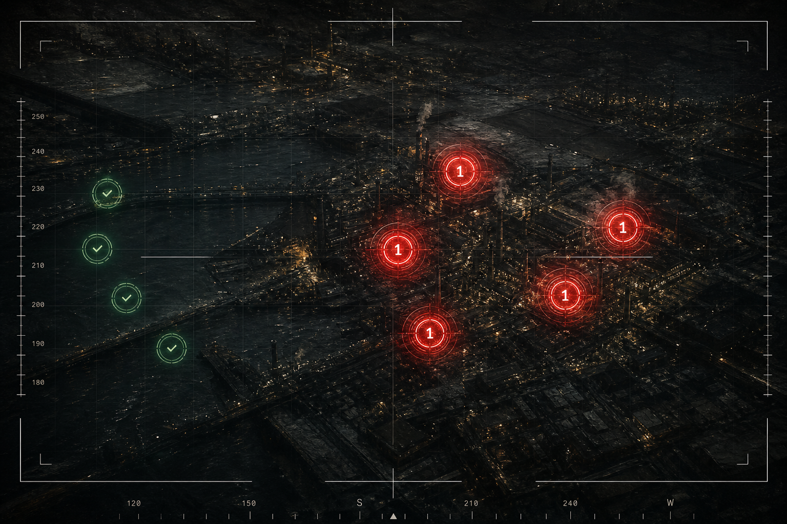
Request a Demo

See Tactical AI DuckDB in action with a personalized demonstration for your team.

We typically respond within 1-2 business days. Your information is kept confidential.

Integrations & Protocols

Connects to the systems your organization already uses.

DuckDB GeoPackage MapLibre GL PMTiles OGC API Features OGC API Records CSW 2.0.2 ESRI ArcGIS Redis Kafka WebSockets VMF / JVMF Link 16 / Link 22 USMTF Slack MS Teams Telegram Signal WhatsApp XMPP Rclone S3 / Azure / GCS GraphHopper Google Gemma 3N Microsoft Phi-4 NMEA / RTK GNSS OGC SensorThings GTFS Transit STAC API CKAN Socrata THREDDS TensorFlow Lite OpenCV Rasterio Chaquopy Python IFC / CityJSON glTF / FBX IMDF Indoor Maps MBTiles ATC-45 CoT / XML

Ready to Transform Your Tactical Operations?

Contact Tech Maven Geospatial for a live demonstration, licensing details, or integration consulting.